Water Planning
- OSE Home
- About Water Planning
- RWP
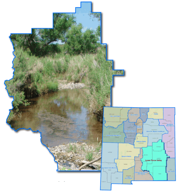
- Region 10 - Lower Pecos Valley
Region 10 - Lower Pecos Valley Regional Water Plan
2016 Lower Pecos Valley Regional Water Plan
2001 Lower Pecos Valley Regional Water Plan
The water planning region encompasses Chaves County, Eddy County and portions of DeBaca, Lincoln and Otero counties. The principal river basin is the Lower Pecos River. The principal aquifers underlay the Fort Sumner Basin, the Roswell Basin, the Hondo Basin, the Penasco Basin, the Carlsbad Basin, and the Capitan Basin.
The region is bounded on the north by Torrance, Guadalupe and DeBaca counties; on the west by upper ridges of the Jicarilla, the Capitan, the Sacramento and the Guadalupe mountain ranges; on the south by Texas, and on the east by Roosevelt and Lea counties.