Water Planning
- OSE Home
- About Water Planning
- RWP
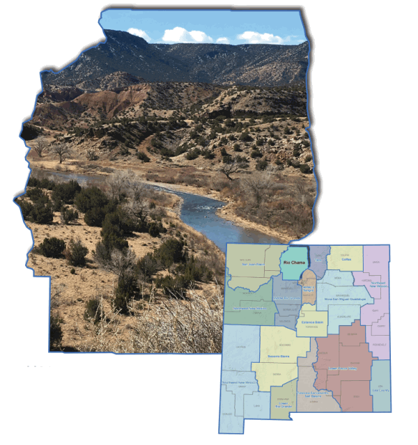
- Region 14 - Rio Chama
Region 14 - Rio Chama Regional Water Plan
2016 Rio Chama Regional Water Plan
2006 Rio Chama Regional Water Plan
The water planning region encompasses portions of Rio Arriba County. The principal river basin is the Chama River. The principal aquifer is the Quaternary alluvium and the Santa Fe Group.
The region is bounded on the north by Colorado, on the west by the continental divide, on the south by the northern boundary of Santa Clara Pueblo and the City of Espanola, and on the east by Santa Fe and Taos counties.